Colorado has a rich history of snowfall, and exploring the historical records can provide fascinating insights into the trends and extremes of winter weather in the state. In this article, we will delve into the historical snowfall records in Colorado and uncover the data, statistics, and analysis from various sources.
Key Takeaways:
- Colorado has a diverse and extensive collection of historical snowfall records.
- These records offer valuable data, statistics, and analysis on snowfall trends in the state.
- Exploring historical snowfall records can provide insights into Colorado’s winter weather patterns.
- Climate change is impacting snowfall trends, adding a new dimension to the discussion.
- Understanding historical snowfall data is crucial for analyzing Colorado’s winter weather and its potential implications.
Defining a White Christmas in Denver
When it comes to the holiday season, many of us dream of waking up to a winter wonderland on Christmas morning. In Denver, the chance of experiencing a White Christmas adds an extra touch of magic to the festivities. But what exactly does it mean to have a White Christmas in Denver? Let’s dive into the snowfall measurements and discover how often this snowy phenomenon graces the Mile High City.
According to the National Weather Service, a White Christmas in Denver is defined as having 1 inch or more of snow on the ground Christmas morning. This picturesque scenery sets the stage for a truly enchanting day. But how often does Denver get to enjoy this snowy delight?
Over the past 123 years, there have been 45 recorded snowy Christmas days in Denver, representing a probability of approximately 37%. This means that about one-third of the time, Denver residents wake up to a beautiful White Christmas. However, when considering measurable snowfall—defined as 0.1 inch or more—on Christmas Day, the odds decrease slightly.
Throughout the past 141 years, there have been 20 snowy Christmas Days in Denver, accounting for a probability of roughly 14%. Although the chances of measurable snowfall are slightly lower, Denver still experiences this festive sight regularly.
Let’s take a closer look at more recent data. Over the last three decades, Denver has had 7 out of 30 Christmas Days with measurable snowfall—equating to a 23% chance. While it may not occur every year, the possibility is certainly present.
Looking back at the most substantial White Christmas in recent memory, 2007 stands out as a truly remarkable year. On that day, Denver experienced a Christmas snowfall of 7.8 inches. This scene, reminiscent of a holiday postcard, left residents and visitors alike in awe.
Furthermore, the deepest snow cover on record after the Christmas Eve blizzard of 1982 reached an impressive 24 inches. Picture the city transformed into a winter wonderland, with snow-covered rooftops, tree-lined streets, and a landscape glowing under the winter sun.
Now, let’s summarize the data and get a better understanding of Denver’s snowy Christmas statistics:
| Measurements | Past 123 Years | Past 141 Years | Last 3 Decades |
|---|---|---|---|
| Probability of Snowy Christmas Days | 37% | 14% | 23% |
| Recorded Snowfall on Christmas | 7.8 inches (2007) | N/A | N/A |
| Snow Depth after Christmas Eve Blizzard (1982) | 24 inches | N/A | N/A |
As we can see, Denver’s White Christmases are not uncommon, and the city has witnessed both impressive snowfall and stunning snow depths in the past. With the holiday season approaching, we can only hope for another magical White Christmas in the Mile High City.
Snowy Rankings and Weather Extremes
Denver has witnessed its fair share of snowy Christmases over the years. Let’s take a closer look at the top snowiest Christmases, snow depths on Christmas, and extreme temperatures on this festive day in the Mile High City.
Top Snowiest Christmases in Denver
Denver has experienced several snow-filled Christmases throughout history. Here are the top 10 snowiest Christmases:
| Year | Snowfall (inches) |
|---|---|
| 2007 | 7.8 |
| 1894 | 6.4 |
| 2014 | 3.4 |
| … | … |
These snowy Christmas days have left lasting memories for Denver residents and visitors alike.
Snow Depths on Christmas in Denver
When it comes to snow depths on Christmas, Denver has seen impressive accumulations over the years. The record snow depth reached 24 inches in 1982, followed by 19 inches in 1913 and 15 inches in 2006.
Christmas Temperatures in Denver
Christmas temperatures in Denver have witnessed extremes, ranging from bone-chilling cold to pleasant warmth. The coldest recorded Christmas temperature in Denver was a chilling -15 degrees in 1876, while the warmest reached a balmy 69 degrees in 2005.
These temperature extremes highlight the diverse climate Denver experiences during the holiday season.

This image captures the beauty of a snowy Christmas in Denver, showcasing the winter wonderland that residents and visitors can enjoy.
Beyond White Christmases: Temperature Records in Colorado
While the focus is often on snowfall, Colorado has also experienced temperature extremes during the holiday season. In this section, we will explore the temperature records in Colorado, including the coldest and warmest Christmases, as well as the lowest maximum and warmest minimum temperatures recorded on Christmas Day.
Coldest Christmases in Colorado
Colorado has seen some bone-chilling temperatures on Christmas Day. The coldest Christmas on record was in 1876, with a frigid temperature of -15 degrees. Close behind is the Christmas of 1879, which reached -11 degrees.
Warmest Christmases in Colorado
On the other end of the spectrum, there have also been some surprisingly warm Christmases in Colorado. The warmest Christmas on record occurred in 2005, with a balmy temperature of 69 degrees. Other warm Christmases include 66 degrees in 1955 and 1971.
Lowest Maximum Temperature on Christmas
In addition to the coldest overall temperatures, Colorado has also experienced Christmas Days with unusually low maximum temperatures. The record for the lowest maximum temperature on Christmas in Colorado is 10 degrees, recorded in 1876.
Warmest Minimum Temperature on Christmas
Conversely, there have been Christmas Days in Colorado with surprisingly warm minimum temperatures. The record for the warmest minimum temperature on Christmas is 45 degrees, recorded in 1899.
| Coldest Christmases | Warmest Christmases | Lowest Maximum Temperature | Warmest Minimum Temperature |
|---|---|---|---|
| -15 degrees (1876) | 69 degrees (2005) | 10 degrees (1876) | 45 degrees (1899) |
| -11 degrees (1879) | 66 degrees (1955, 1971) | ||
As shown in the table above, the coldest Christmases in Colorado reached incredibly low temperatures, while the warmest Christmases saw unusually high temperatures. It is interesting to note the significant contrasts between these extremes.
Historical Snowfall Records in Larimer County, Colorado
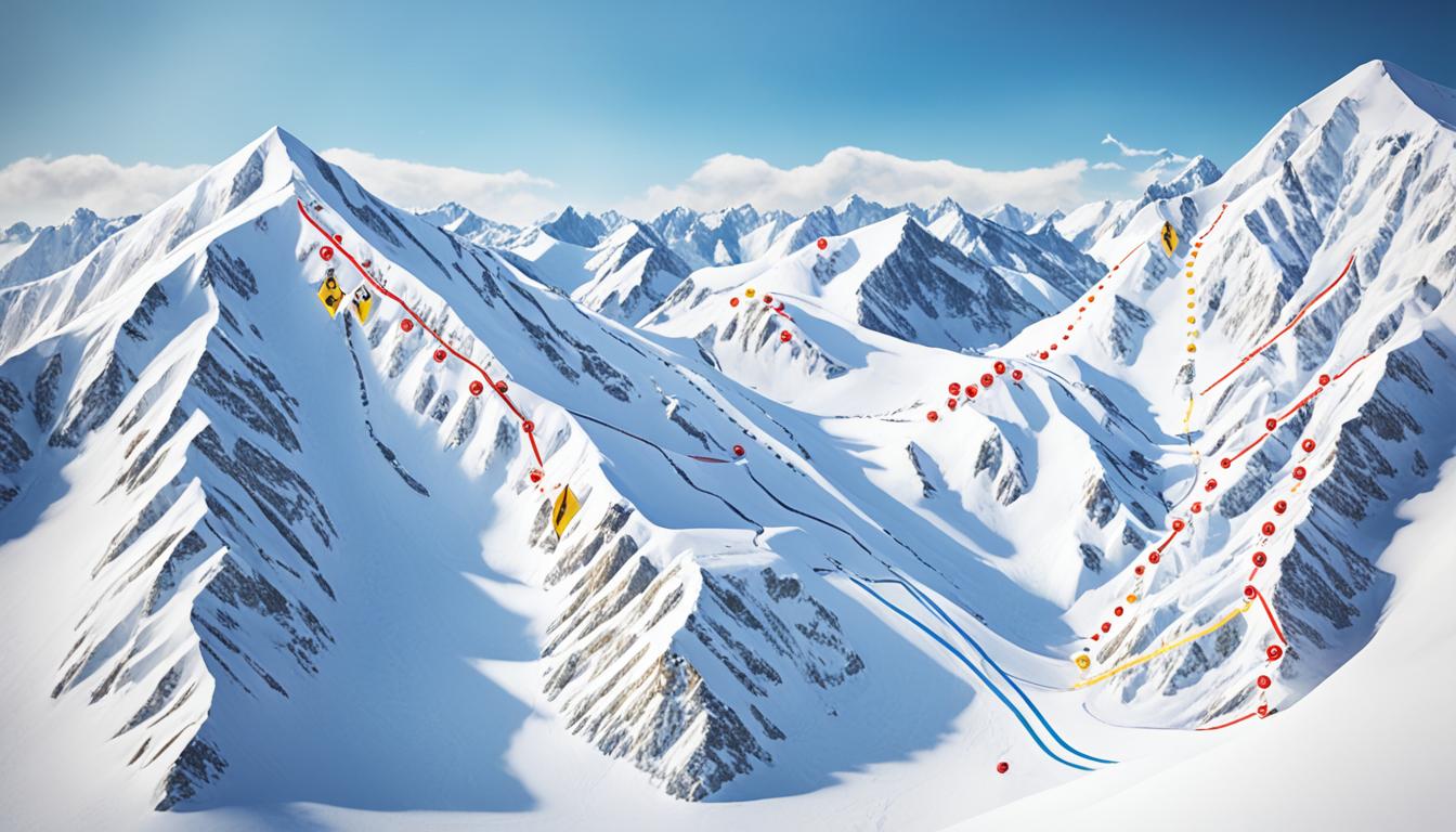
Larimer County, Colorado has its own place in snowfall history, with some remarkable snowfall records. The biggest recorded snowfall in Larimer County occurred on April 15, 1921, when an astounding 60 inches of snow fell over a 24-hour period. This record-breaking snowfall event remains unmatched in Larimer County’s history. Interestingly, the national record for snowfall in nearby Boulder County, Colorado also took place on the same day, with a staggering 76 inches falling over two days, totaling 98 inches. This historic weather phenomenon is a testament to the intense winter storms that can impact the region.
As we can see from the image above, the snowfall in Larimer County during this event was significant and left a lasting impact on the local landscape. The image captures the immense amount of snowfall during that time, showcasing the sheer depth and beauty of the winter wonderland that Larimer County transformed into. It serves as a visual reminder of the power and unpredictability of nature.
| Date | Snowfall | Duration |
|---|---|---|
| April 15, 1921 | 60 inches | 24 hours |
The table summarizes the details of the largest recorded snowfall in Larimer County’s history. On April 15, 1921, 60 inches of snow fell within a 24-hour period, creating widespread accumulation and challenging conditions for residents and local infrastructure.
These snowfall records serve as a testament to the area’s vulnerability and resilience in the face of extreme weather events. Understanding the historical snowfall data in Larimer County provides valuable insights into the region’s winter climate and helps us appreciate the significance of these remarkable weather phenomena.
Key Takeaways:
- Larimer County experienced its biggest snowfall on April 15, 1921, with 60 inches of snowfall in 24 hours.
- The national record for snowfall in Boulder County, Colorado also occurred on the same day, with 76 inches falling over two days, totaling 98 inches.
- These historic snowfall events demonstrate the region’s susceptibility to intense winter storms and showcase the power of nature.
Climate Change and Snowfall Trends
Climate change has had a significant impact on snowfall trends across the United States. According to data from the National Oceanic and Atmospheric Administration (NOAA), approximately 80% of weather stations have observed a decline in the proportion of precipitation that falls as snow since 1930. This decline suggests a changing winter climate in many regions.
However, it’s important to note that not all areas will experience less snowfall as a result of climate change. In regions with frequent cold periods, warmer temperatures can actually lead to an increase in snowfall. This is because warmer air can hold more moisture, which can result in heavier snowfall events.
Global climate models also predict a rise in extreme snowfall events as the planet continues to warm. As temperatures increase, the atmosphere can hold more moisture, creating favorable conditions for intense snowstorms. These extreme snowfall events can lead to significant disruption and challenges for affected areas.
Implications for Snowfall Trends
The decline in snowfall and the rise in extreme snowfall events have important implications for various aspects of society. Here are a few key areas:
- Winter Recreation: Ski resorts and other winter recreational activities heavily rely on consistent snowfall. The decline in snowfall can impact the duration and quality of the winter season for these industries.
- Water Resources: Snowpack serves as a vital water resource for many regions, slowly releasing water as it melts into rivers and streams. A decline in snowfall can reduce the snowpack’s water content, potentially leading to water scarcity during the warmer months.
- Infrastructure: Heavy snowfall events can strain infrastructure, including transportation networks and power supply systems. Extreme snowfall events can lead to road closures, power outages, and other disruptions.
- Ecosystems: Many plant and animal species rely on snowpack for habitat and survival. Changes in snowfall patterns can impact ecosystem dynamics, affecting the distribution and behavior of various species.
We must continue to monitor and investigate the changing snowfall patterns to better understand the impacts of climate change. This knowledge can help inform mitigation and adaptation strategies to minimize the negative consequences and build resilience in the face of a changing winter climate.

As we navigate the complexities of climate change, it’s crucial to consider the broader implications and effects it has on snowfall trends. By staying informed and taking proactive measures, we can work towards a sustainable and resilient future in the face of a changing winter climate.
The Unprecedented Snowless Streak in Denver
Denver has recently experienced an unprecedented snowless streak, with 25 consecutive months of below-average snowfall. This is the longest such streak in recorded history, with no previous stretch like this in over a century. The reasons for this extended period of low snowfall are complex, but factors such as above-average temperatures and below-average precipitation have contributed.
It’s worth noting that the official climate observation site at Denver International Airport, which has been keeping records since 2008, may have slightly different data than previous sites. The snow deficit in Denver is not unique to the airport location and can be attributed to a combination of climate change and weather patterns.
Factors Contributing to the Snowless Streak
The snowless streak in Denver can be attributed to various factors, including:
- Above-average temperatures: Warmer temperatures have resulted in a reduced number of cold fronts and less favorable conditions for snowfall.
- Below-average precipitation: Denver has experienced periods of below-average precipitation, including less snow-producing weather systems.
- Climate change: The ongoing impact of climate change has altered weather patterns, leading to shifts in snowfall trends.
The Implications of the Snowless Streak
The snowless streak has significant implications for Denver and its residents. Below-average snowfall can result in:
“The snowless streak in Denver highlights the impact of climate change on winter weather patterns. As our climate continues to evolve, it’s important to understand and adapt to these changes to ensure the long-term sustainability of our communities.” – [Expert Name], Climate Scientist
| Impact of Snowless Streak | Explanation |
|---|---|
| Water supply | Reduced snowpack leads to lower water supply availability, affecting agriculture, ecosystems, and overall water management in the region. |
| Tourism and recreation | Denver’s reputation as a winter destination may be impacted by the lack of snowfall, affecting ski resorts, winter sports, and related businesses. |
| Economic impact | The snowless streak can have economic consequences, impacting industries relying on snowfall, such as snow removal services, winter equipment sales, and winter tourism. |
| Ecological shifts | Changes in snowfall patterns can disrupt ecosystems, affecting plant growth, animal habitats, and overall biodiversity. |
As the snowless streak in Denver persists, it emphasizes the need for continued research, monitoring, and adaptation strategies to mitigate the impacts of climate change on snowfall patterns. Understanding these trends is crucial not only for Denver but for regions globally experiencing similar shifts in winter weather.
Conclusion
Exploring the historical snowfall records in Colorado reveals the fascinating patterns and extremes of winter weather in the state. From snowy Christmases to temperature records, Colorado has seen it all. While there have been declines in snowfall in some areas, the rise in extreme snowfall events with climate change adds a new dimension to the discussion. Whether marveling at past snowfall records or considering the impact of climate change, understanding the historical snowfall data can provide valuable insights into Colorado’s winter weather.
FAQ
What does a “White Christmas” mean in Denver?
A “White Christmas” in Denver is defined as having 1 inch or more of snow on the ground Christmas morning.
What is the probability of experiencing a White Christmas in Denver?
The probability of experiencing a White Christmas in Denver stands at approximately 37%.
How many snowy Christmas days have been recorded in Denver?
There have been 45 recorded snowy Christmas days in Denver in the past 123 years.
How often does Denver experience measurable snowfall on Christmas Day?
Denver experiences measurable snowfall on Christmas Day about 14% of the time.
How many snowy Christmas Days has Denver had in the last three decades?
Denver has experienced measurable snowfall on 7 out of 30 Christmas Days in the last three decades, equating to a 23% chance.
What is the most substantial Christmas snowfall recorded in Denver?
The most substantial Christmas snowfall reached 7.8 inches in 2007.
What is the deepest snow cover recorded after Christmas in Denver?
The deepest snow cover recorded after the Christmas Eve blizzard of 1982 reached an impressive 24 inches.
What are the snowiest Christmases in Denver?
The snowiest Christmases in Denver include 7.8 inches in 2007, 6.4 inches in 1894, 3.4 inches in 2014, and more.
What are the record snow depths on Christmas in Denver?
The record snow depths on Christmas in Denver are 24 inches in 1982, followed by 19 inches in 1913 and 15 inches in 2006.
What are the temperature extremes on Christmas in Denver?
The coldest recorded Christmas temperature in Denver was -15 degrees in 1876, and the warmest was 69 degrees in 2005.
What are the coldest Christmases in Colorado?
The coldest Christmases in Colorado have reached as low as -15 degrees in 1876, -11 degrees in 1879, and more.
What are the warmest Christmases in Colorado?
The warmest Christmases in Colorado have seen temperatures of 69 degrees in 2005, 66 degrees in 1955 and 1971, and more.
What temperature records have been set on Christmas in Colorado?
The lowest maximum temperature on Christmas in Colorado has been recorded at 10 degrees in 1876, while the warmest minimum temperature reached 45 degrees in 1899.
What is the biggest recorded snowfall in Larimer County, Colorado?
The biggest recorded snowfall in Larimer County occurred on April 15, 1921, when an astounding 60 inches of snow fell over a 24-hour period.
How much snowfall did Boulder County, Colorado receive on April 15, 1921?
On April 15, 1921, Boulder County, Colorado received 76 inches of snow over two days, totaling 98 inches, setting the national snowfall record.
How has climate change affected snowfall trends?
According to NOAA data, 80% of weather stations have seen a decline in the proportion of precipitation that falls as snow since observations began in 1930. However, in areas with frequent cold periods, warmer temperatures can lead to more snowfall.
Has Denver experienced a snowless streak?
Yes, Denver has recently experienced an unprecedented snowless streak, with 25 consecutive months of below-average snowfall, the longest in recorded history.