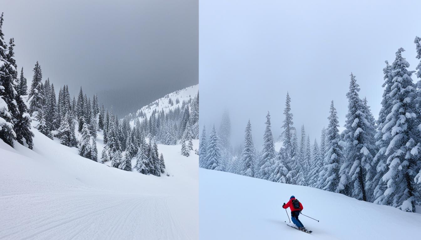
Exploring the backcountry is thrilling. But ensuring your safety is key. GPS and navigation tools are paramount for outdoor adventures. They help with accurate location tracking, route planning, and predicting when you’ll arrive at certain spots.
GPS and navigation tools let hikers find their way off marked paths. They can follow their route in twisting terrains and measure how far they are from landmarks. These tools are a safety net, making sure you don’t get lost and reach your goal.
Let’s dive into how GPS tools can be your best friend in the wilderness. We’re going to learn all about backcountry navigation with these tools.
Key Takeaways:
- Using GPS and navigation tools is essential for backcountry navigation.
- These tools provide accurate location monitoring, route planning, and prediction of arrival times.
- GPS tools help hikers navigate off-trail, track their location, and calculate distances to landmarks.
- By utilizing GPS and navigation tools, hikers can enhance the overall safety and efficiency of their backcountry travel.
- Stay tuned as we delve deeper into the specific tools and techniques for successful backcountry navigation.
Importance of Topographic Maps in Backcountry Navigation
When I head into the backcountry, a topographic map is my best friend. It’s packed with details about the land. This helps me find my way accurately and safely.
First, I look at the map scale. It shows the map’s distance versus real distance. Knowing this lets me plan routes and figure out how long it will take to get places.
Next, the map’s contour lines are vital. They show the land’s shape by connecting equal elevation points. This lets me see hills, valleys, and what’s in my path.
Map Features and Terrain Identification
Topographic maps also show different colors and symbols. Green shows vegetation, so I can tell if an area’s forested or open. This is key for planning paths.
They include blue too, for water sources. Knowing where water is helps me plan to stay hydrated on my hike.
“Topographic maps enable me to navigate the backcountry confidently, providing crucial information about the terrain, distances, and key features.”
Enhancing Navigation and Decision-Making
Learning to read these maps boosts my trek planning. I can see which paths are steep or gentle. This helps me choose hikes that match my skill level.
This map knowledge lets me steer clear of bad terrain, like thick woods or slippery slopes. Avoiding these helps keep me safe and the hike fun.
| Topographic Map Essentials | Benefits |
|---|---|
| Map Scale | Accurate estimation of distances on the ground |
| Contour Lines | Identification of high and low points, visualization of slopes |
| Map Features | Understanding vegetation, locating water sources |
| Terrain Identification | Anticipating ground cover, planning safe and efficient routes |
Topographic maps make exploring the wild safer and more fun. They’re packed with land info like scales, contours, and features. Mastering them lets me hike with accuracy, wisdom, and see nature’s beauty up close.
Mastering Compass Navigation in the Backcountry
Compass navigation is key for safe backcountry travels. It means knowing about declination, the difference between true north and magnetic north. By setting your compass right, your map shows the correct directions. This is vital for finding your way accurately.
Learning to map out your journey is essential with a compass. You need to match the map with what you see around you. This helps you spot landmarks and plan how to move. Doing this right keeps your bearings clear and helps you make smart choices.
“A compass is my trusted companion in the backcountry. It helps me stay on course, navigate through challenging terrain, and confidently explore new areas.”
Knowing how to follow bearings is also a must. Bearings are specific directions on a compass, shown as degrees. Pick a spot along the path you want to go. Then, walk towards it. This keeps you on the right path and less likely to get lost.
Skilled hikers use “aiming off” to deal with barriers. It means purposefully veering a bit from your path when there’s an obstacle ahead, like a river. This way, you won’t miss your mark by going too far and can get around tough spots.
Mastering Compass Navigation Tips:
- Understand declination well and set your compass straight.
- Always align your map to your surroundings before you start.
- Get good at following bearings to find your way.
- Know the aiming off trick to get around rough obstacles.
- Keep practicing with your compass and map for better navigation.
Mastering compass skills is crucial for confident hiking off the beaten path. A compass is a reliable tool, whether you’re checking out new places or taking on tough challenges.

Leveraging Altimeter Watches for Elevation Navigation
Altimeter watches are key for knowing your height above sea level. They work by using air pressure to figure out how high up you are. This makes them perfect for use in the mountains and other high places.
To get the best out of an altimeter watch, make sure it’s accurate. You should set it to a known height so it reads right. This setup makes the watch’s elevation measurements spot-on during your trip.
With your watch set up, you can contour. Contouring is keeping to the same height while moving across land. It’s great for getting around when the ground goes up and down a lot.
Navigating with Contouring
Contouring is great for staying on a certain level as shown on a map. This technique keeps hikers from wasting energy going up or down when they don’t need to. It can save a lot of time and effort.
This method also helps avoid getting tricked by false peaks. Altimeter watches give you the height in real time. So, you know if what looks like the top really is, or if there’s more climbing to do.
Pinpointing with Altitude and Topographic Features
An altimeter watch, along with a map, helps you know exactly where you are. You match the heights on the watch with the landforms around you. This way, you figure out your location accurately.
Understanding height and terrain features lets hikers navigate better. Altimeter watches play a big role in knowing the exact location. They’re particularly helpful for picking out mountains or finding the safest path through rough areas.
In the end, altimeter watches are critical for accurate backcountry travel. By setting them right, using contouring, and checking altitudes with maps, you can explore safely. This approach ensures a great time outdoors.
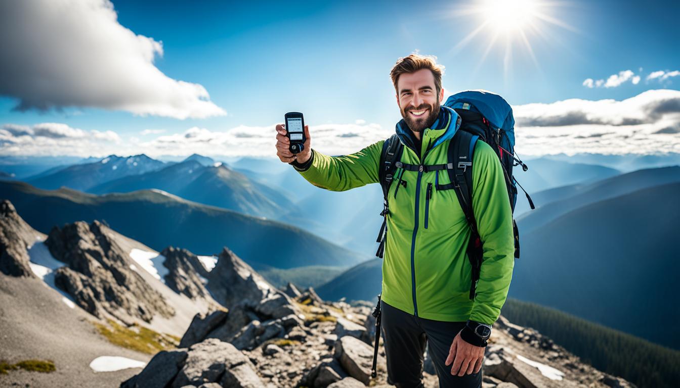
Harnessing the Power of GPS Devices in the Backcountry
GPS devices are great for those in the backcountry. They have many features that help outdoor enthusiasts.
One top benefit is downloading maps to use offline. With this, you don’t need cell service to navigate. You can explore without fear of getting lost.
GPS devices let you mark waypoints and plan routes. This is perfect for following specific paths or reaching important points. It makes hiking more organized and fun.
It’s important to save your GPS’ battery in the wild. Turning on airplane mode and using battery-saving settings when not in use helps a lot. This way, your device will last as long as your trip does.
What’s cool is how GPS devices find the best path for you. They consider many things to show you the easy, safe route. This can save you time and make your trip smoother.
Don’t forget to pack extra batteries or a charger for your GPS device. It ensures you can use it all trip long.

Comparison of GPS Devices
| Brand | Battery Life | Offline Maps | Waypoints |
|---|---|---|---|
| Brand A | 20 hours | Yes | 100 |
| Brand B | 25 hours | Yes | 150 |
| Brand C | 18 hours | Yes | 75 |
Each GPS brand offers different features. Be sure to pick one that fits your needs while in the wilderness.
A GPS device is like a trusty friend on your exploration journey. It will guide you through the backcountry safely. With it, you’re ready for any adventure.
Essential Tips for Backcountry Navigation Preparation
Being ready is crucial for backcountry navigation. Make sure you’re physically and mentally prepared. Do your orienteering homework and always stay calm.
1. Physical Fitness
Physical fitness is vital when navigating rough terrain. It gives you the energy and power to handle hard landscapes. Add cardio, strength, and endurance exercises to your routine. This boosts your performance and endurance outdoors.
2. Mental Preparation
Mental readiness matches physical training for backcountry journeys. Staying cool in tough times lets you think clearly. Visualize different challenges to help prepare. This practice builds your confidence for any situation.
3. Visualization Scenarios
Picture various navigation challenges before you go. Imagine getting lost or facing obstacles. See yourself staying calm and finding your way. This mental prep is key for coping well in real-life scenarios.
4. Orienteering Homework
Know the area by heart with your orienteering homework. Study the maps and guides well. Note key landmarks, water, and risks. This helps in planning your route and spotting important navigation markers.
5. Staying Calm
Remaining calm is critical in rough spots. When lost or finding it tough, pause and think. Avoid rushing and making snap choices. Use your tools wisely and consider all options calmly. This keeps you safe and on track.
“Proper prep and mental strength are gold for navigating the backcountry. By readying your body and mind, and keeping cool, wilderness challenges become conquerable.”
Keep these tips close for better backcountry travels. The right preparation ensures safety and confidence outdoors.
Essential Gear for Backcountry Navigation
When heading into the backcountry, the right gear is key for a safe trip. Essential tools like GPS and maps are crucial. But, other items should also be on your list. Here’s a look at what you need for backcountry navigation:
Topographic Maps
Topo maps play a big role in the backcountry. They show detailed terrain features like elevation and landmarks. With these maps, you can plan your route, spot important places, and stay on track. Always make sure to have up-to-date topo maps with you.
Compass
A compass remains vital despite the rise of GPS gadgets. It works everywhere, without relying on satellites. A compass helps you link the map to your location, find north, and follow directions accurately.
Ruler
A small ruler is surprisingly handy for wilderness trips. Use it to measure distances on your map. This helps plan your route, figure out travel times, and track how far you’ve gone. A ruler is also great for drawing lines and marking spots you want to remember.
Altimeter
For getting around by elevation, an altimeter is a must. It tells you how high up you are. This comes in handy for staying on the right altitude path and avoiding wrong turns. An altimeter watch gives you this data right on your wrist.
GPS Device, Smartphone, and Satellite Communicator
Using modern tech with your traditional gear makes navigating easier. Gadgets like GPS, smartphones, and satellite communicators offer extra features. They let you use maps without internet, mark key points, and stay in touch. They’re a powerful combo with maps and compasses.
Having all the right gear boosts your confidence outdoors. Preparation is key, and these tools are essential for a successful trip. So, get your gear ready, head out into nature, and enjoy the backcountry’s scenery!
| Essential Gear for Backcountry Navigation | Benefits |
|---|---|
| Topographic Maps |
|
| Compass |
|
| Ruler |
|
| Altimeter |
|
| GPS Device, Smartphone, and Satellite Communicator |
|
Conclusion
To navigate the backcountry safely, it’s key to use GPS and other tools like maps and compasses. They help hikers stay safe and on the right path. With the right gear and preparation, these tools boost the effectiveness of your journey.
Hikers should learn how to use GPS, maps, and compasses. With these skills, they can successfully explore the wilderness. It’s about measuring distances and following bearings to make the most of your outdoor adventure.
Always being prepared and staying informed is vital. But, don’t forget to enjoy the journey into the backcountry’s beauty.
FAQ
What are GPS and navigation tools, and why are they important for backcountry travel?
GPS and navigation tools are key for backcountry adventures. They help keep track of where you are, plan routes, and predict when you’ll get to cool spots. Without them, hikers might get lost off the path. They make backcountry trips safer and more efficient.
How do topographic maps assist in backcountry navigation?
Topo maps show details like the land’s shape, plants, and key spots. They teach hikers about map scales, measure distances, and spot height changes. Knowing these map skills helps hikers find the best routes. It makes their navigation smoother and more accurate.
What is compass navigation, and why is it important in the backcountry?
Compass use is crucial for navigating the backcountry. It includes setting a map in the right direction and following directions. By doing this correctly, hikers know they’re headed the right way. It keeps them on track and around obstacles.
How can altimeter watches assist in elevation navigation in the backcountry?
Altimeter watches track altitude by reading air pressure. They’re great for figuring out heights accurately. Hikers can use them to move at the same elevation and avoid climbing too much. This helps to find exactly where they are and avoid wrong guesses.
How do GPS devices enhance navigation in the backcountry?
GPS devices bring modern benefits to backcountry travel. They let hikers use maps without an internet connection and plan their paths. They find the easiest ways to walk by looking at many factors. Using GPS wisely makes navigation easier and more exact.
What are some essential tips for backcountry navigation preparation?
Getting ready ahead of time is crucial for backcountry trips. It’s about being physically fit, mentally ready, and knowing how to use maps and tools. Learn about the area and picture your route before walking. This mix of fitness and know-how helps hikers stay safe and sure of their way.
What gear is essential for backcountry navigation?
For safe backcountry travel, you need maps, a compass, and a way to measure distances. Include an altimeter watch for heights and a GPS or phone for more. These items, along with your skills, are vital for a great hiking experience.